
SBASE GNSS RTK Receiver
SBASE GNSS RTK Receiver
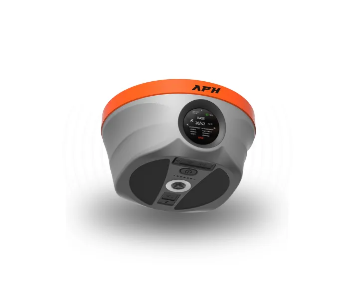
SBASE GNSS RTK Receiver
High-Precision GNSS Survey Receiver for Professional Surveying
Experience centimeter-level positioning with advanced multi-constellation GNSS technology, IMU tilt compensation, and ultra-fast RTK initialization. Built for surveyors, engineers, and GIS professionals who demand accuracy, reliability, and maximum productivity.
Product Overview
Reliable Positioning. Superior Accuracy. Maximum Productivity.
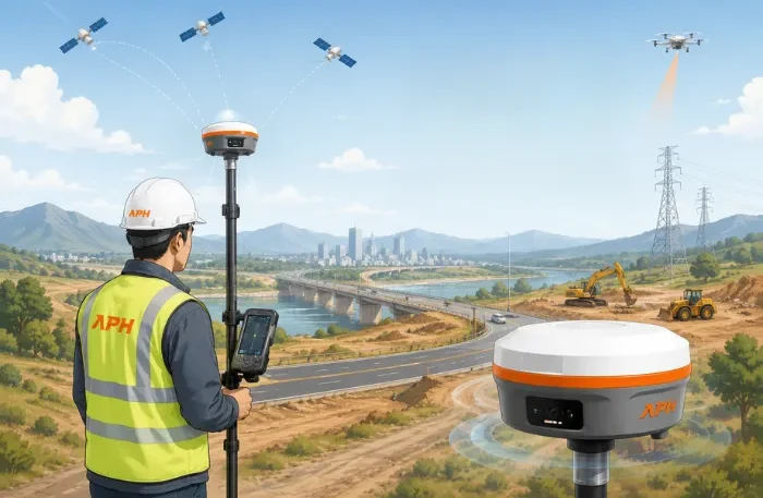
The SBASE GNSS RTK Receiver is engineered to deliver precise positioning for land surveying, construction, GIS mapping, and infrastructure development. Featuring multi-constellation GNSS tracking, fast RTK initialization, long-lasting battery life, and rugged IP67 protection, it ensures dependable performance even in challenging field environments.
Key Features
Multi-Constellation GNSS Tracking
Supports multiple satellite systems for improved positioning accuracy and reliability.
5W Long-Range Radio
Provides stable long-distance communication for uninterrupted surveying.
IMU Tilt Compensation
Measure accurately without keeping the survey pole perfectly vertical. Supports tilt compensation up to 120°.
Fast RTK Initialization
Achieve centimeter-level accuracy in less than 5 seconds.
Extended Battery Life
Powerful battery offering up to 36 hours of continuous operation.
IP67 Protection
Dustproof and waterproof design suitable for harsh outdoor environments.
Advanced Connectivity
Supports 4G LTE, Wi-Fi, Bluetooth, and NFC for seamless communication.
Centimeter-Level Accuracy
Delivers highly accurate positioning for professional surveying applications.
Technical Highlights
| Feature | Details |
|---|---|
| Positioning Accuracy | Centimeter-Level |
| GNSS Tracking | Multi-Constellation |
| Radio Power | 5W Long-Range |
| IMU Tilt | Up to 120° |
| RTK Initialization | Less than 5 Seconds |
| Battery Backup | Up to 36 Hours |
| Protection | IP67 Waterproof & Dustproof |
| Connectivity | 4G LTE, Wi-Fi, Bluetooth, NFC |
Applications

Land Surveying
Accurate measurements for boundary and topographic surveys.

Construction Layout
Precise positioning for construction planning and execution.
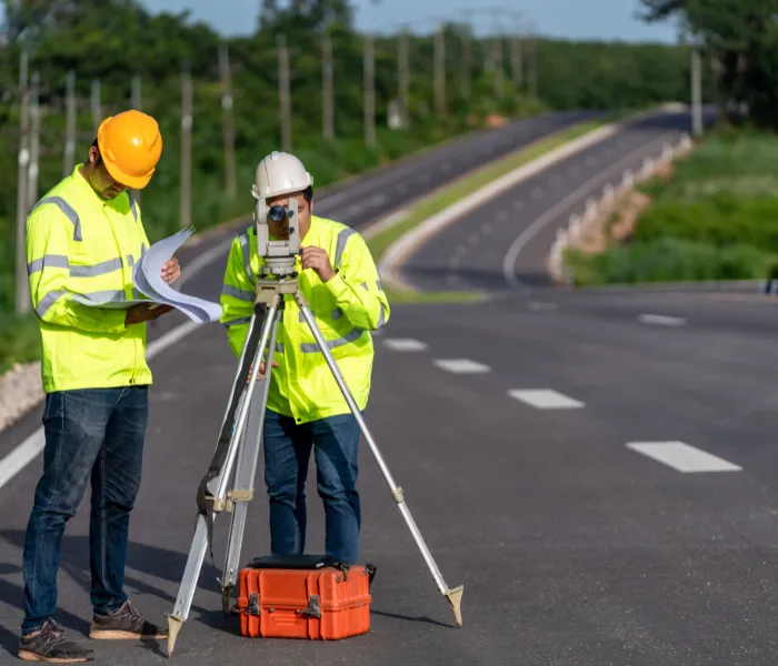
Road & Highway Projects
Reliable surveying for roads, highways, and transportation projects.
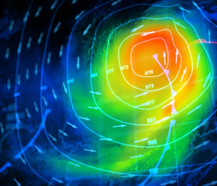
GIS Mapping
High-precision data collection for GIS and mapping applications.

Utility Survey
Efficient mapping of underground and above-ground utilities.
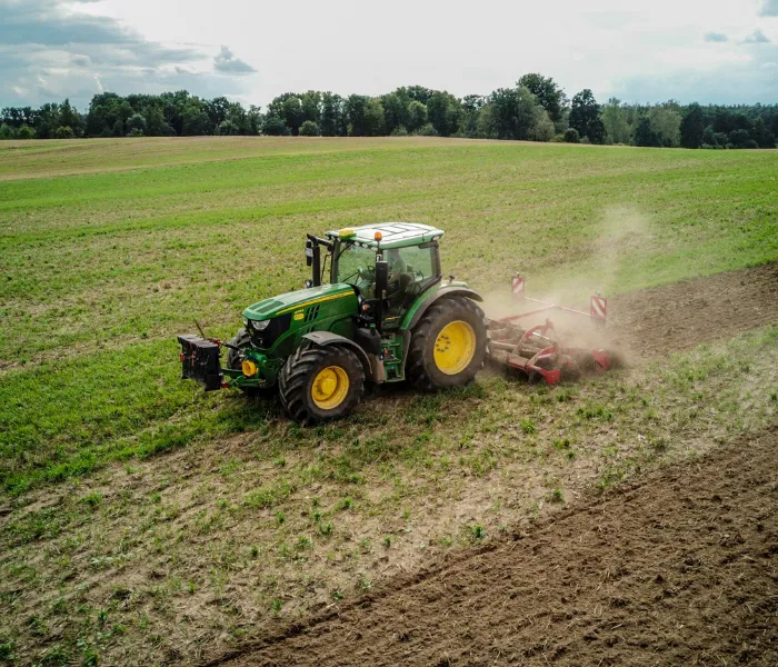
Agriculture
Supports precision farming and efficient land management.

Infrastructure Development
Ideal for surveying large-scale infrastructure and urban projects.
Why us? ?
Why Choose SBASE GNSS RTK Receiver?
- Professional-grade positioning accuracy
- Faster project completion
- Rugged IP67 design for outdoor environments
- Long-lasting battery for full-day operation
- Stable wireless communication
- Easy connectivity with multiple devices
- Reliable performance in demanding field conditions
- Designed for surveyors, engineers, and GIS professionals
Contact US
Ready to Elevate Your
Surveying Accuracy
Get the SBASE GNSS RTK Receiver for fast, precise, and reliable positioning solutions tailored to your surveying needs.
FAQ
Frequently Asked Questions?
What is the positioning accuracy?
The receiver provides centimeter-level positioning accuracy with RTK.
Does it support tilt surveying?
Yes, it supports IMU tilt compensation up to 120°.
How long does the battery last?
Up to 36 hours under normal operating conditions.
Is the receiver waterproof?
Yes, it has an IP67 waterproof and dustproof rating.
Which industries use this receiver?
It is widely used in land surveying, construction, GIS mapping, agriculture, utilities, and infrastructure projects.